Districts of Assam: Full List of 35 Districts with Headquarters
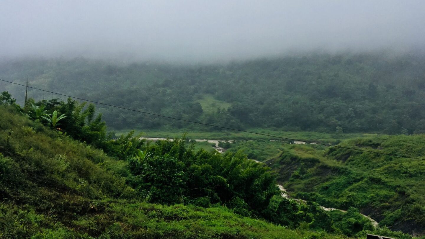
There are 35 districts of Assam in 2026, grouped into five administrative divisions: Lower Assam, North Assam, Upper Assam, Central Assam and Barak Valley. Kamrup Metropolitan, with its headquarters in Guwahati, is the most important urban district. Meanwhile, Karbi Anglong is the largest district by area.
The number of districts of Assam has changed several times in the last decade. Assam merged four districts into their parent districts on 31 December 2022, which briefly left 31. However, the state cabinet decided on 25 August 2023 to restore all four, with new boundaries, from 1 January 2024. As a result, the total returned to 35.
Key takeaways
- Assam has 35 districts in 2026, spread across five divisions.
- Biswanath, Hojai, Bajali and Tamulpur were merged in December 2022 and restored from 1 January 2024.
- Karimganj district and its headquarters town were renamed Sribhumi in November 2024.
- Five districts form the Bodoland Territorial Region: Kokrajhar, Chirang, Baksa, Udalguri and Tamulpur.
- Karbi Anglong, West Karbi Anglong and Dima Hasao are hill districts under Sixth Schedule autonomous councils.
Districts of Assam at a glance
| Detail | Information |
|---|---|
| Total districts | 35 |
| Administrative divisions | 5 |
| Largest division by district count | Lower Assam, with 13 districts |
| Smallest division by district count | Barak Valley, with 3 districts |
| State capital | Dispur, in Kamrup Metropolitan district |
| Largest district by area | Karbi Anglong |
| Latest restored districts | Biswanath, Hojai, Bajali, Tamulpur (from 1 January 2024) |
| Latest rename | Karimganj became Sribhumi (November 2024) |
| Autonomous council areas | Bodoland Territorial Region, Karbi Anglong, Dima Hasao |
| State area | About 78,438 sq km |
Complete list of districts of Assam with headquarters
The table lists all 35 districts of Assam in alphabetical order. It also shows the division each district falls under, as commonly listed in state records. Division groupings can be revised, so check the district administration website for official work.
| No. | District | Headquarters | Division |
|---|---|---|---|
| 1 | Bajali | Pathsala | Lower Assam |
| 2 | Baksa | Mushalpur | Lower Assam |
| 3 | Barpeta | Barpeta | Lower Assam |
| 4 | Biswanath | Biswanath Chariali | North Assam |
| 5 | Bongaigaon | Bongaigaon | Lower Assam |
| 6 | Cachar | Silchar | Barak Valley |
| 7 | Charaideo | Sonari | Upper Assam |
| 8 | Chirang | Kajalgaon | Lower Assam |
| 9 | Darrang | Mangaldai | North Assam |
| 10 | Dhemaji | Dhemaji | Upper Assam |
| 11 | Dhubri | Dhubri | Lower Assam |
| 12 | Dibrugarh | Dibrugarh | Upper Assam |
| 13 | Dima Hasao | Haflong | Central Assam |
| 14 | Goalpara | Goalpara | Lower Assam |
| 15 | Golaghat | Golaghat | Upper Assam |
| 16 | Hailakandi | Hailakandi | Barak Valley |
| 17 | Hojai | Sankardev Nagar (near Hojai town) | Central Assam |
| 18 | Jorhat | Jorhat | Upper Assam |
| 19 | Kamrup | Amingaon | Lower Assam |
| 20 | Kamrup Metropolitan | Guwahati | Lower Assam |
| 21 | Karbi Anglong | Diphu | Central Assam |
| 22 | Kokrajhar | Kokrajhar | Lower Assam |
| 23 | Lakhimpur | North Lakhimpur | Upper Assam |
| 24 | Majuli | Garamur | Upper Assam |
| 25 | Morigaon | Morigaon | Central Assam |
| 26 | Nagaon | Nagaon | Central Assam |
| 27 | Nalbari | Nalbari | Lower Assam |
| 28 | Sivasagar | Sivasagar | Upper Assam |
| 29 | Sonitpur | Tezpur | North Assam |
| 30 | South Salmara-Mankachar | Hatsingimari | Lower Assam |
| 31 | Sribhumi (formerly Karimganj) | Sribhumi (formerly Karimganj town) | Barak Valley |
| 32 | Tamulpur | Tamulpur | Lower Assam |
| 33 | Tinsukia | Tinsukia | Upper Assam |
| 34 | Udalguri | Udalguri | North Assam |
| 35 | West Karbi Anglong | Hamren | Central Assam |
Most headquarters share the district’s name. However, a few do not, and these often appear in exams. Kamrup’s headquarters is Amingaon, Majuli’s is Garamur, and Baksa’s is Mushalpur. Similarly, Chirang is run from Kajalgaon, and South Salmara-Mankachar from Hatsingimari.
Divisions and the districts of Assam in each
The state groups the districts of Assam into five divisions, each under a Divisional Commissioner. Therefore, the division is the tier between the state government and each district’s Deputy Commissioner.
| Division | Headquarters | Districts | Count |
|---|---|---|---|
| Lower Assam | Guwahati | Bajali, Baksa, Barpeta, Bongaigaon, Chirang, Dhubri, Goalpara, Kamrup, Kamrup Metropolitan, Kokrajhar, Nalbari, South Salmara-Mankachar, Tamulpur | 13 |
| North Assam | Tezpur | Biswanath, Darrang, Sonitpur, Udalguri | 4 |
| Upper Assam | Jorhat | Charaideo, Dhemaji, Dibrugarh, Golaghat, Jorhat, Lakhimpur, Majuli, Sivasagar, Tinsukia | 9 |
| Central Assam | Nagaon | Dima Hasao, Hojai, Karbi Anglong, Morigaon, Nagaon, West Karbi Anglong | 6 |
| Barak Valley | Silchar | Cachar, Hailakandi, Sribhumi | 3 |
Some sources call the Nagaon division “Central Assam and Hills” because it includes the three hill districts. In contrast, older lists show eight divisions, including separate Bodoland, Kamrup and Hills divisions. Those lists are out of date, so rely on the five-division structure above.
Lower Assam
Lower Assam is the largest division, stretching west from Guwahati to the borders with West Bengal and Bangladesh. It holds the capital region, the Bodoland districts and the river port town of Dhubri. Consequently, it holds 13 of the 35 districts of Assam.
Upper Assam
Upper Assam covers the eastern Brahmaputra valley, the old Ahom heartland and the main tea belt. Furthermore, it includes Majuli, the river island that became a separate district in 2016.
Barak Valley
The Barak Valley in the south is separated from the Brahmaputra valley by the hill districts. Bengali is widely spoken here. As a result, the valley has a distinct culture from the rest of the state.
How the districts of Assam changed from 2022 to 2026
The most recent changes to the districts of Assam came in three steps. The table sets out the key dates.
| Date | Change | District count |
|---|---|---|
| 15 August 2015 | Several new districts announced, including Biswanath, Charaideo, Hojai, South Salmara-Mankachar and West Karbi Anglong | Rose over 2015–16 |
| 2016 | Majuli becomes a separate district | 33 |
| 12 January 2021 | Bajali formally declared a district, carved out of Barpeta | 34 |
| 23 January 2022 | Tamulpur district created | 35 |
| 31 December 2022 | Biswanath, Hojai, Bajali and Tamulpur merged back into Sonitpur, Nagaon, Barpeta and Baksa | 31 |
| 25 August 2023 | Cabinet decides to restore the four districts with new boundaries | 31 (decision only) |
| 1 January 2024 | Restored districts take effect | 35 |
| 19 November 2024 | Karimganj renamed Sribhumi | 35 |
Why four districts were merged in 2022
The Election Commission was about to begin delimitation of assembly and Lok Sabha seats in Assam. Before that, administrative boundaries had to be frozen from 1 January 2023. Therefore, the government merged the four newest districts back into their parent districts on 31 December 2022.
Why they came back in 2024
After delimitation, the cabinet restored the four districts on 25 August 2023. Moreover, it redrew them to match the new assembly constituencies. For example, Hojai now covers the Binnakandi, Lumding and Hojai seats. Similarly, Biswanath covers Biswanath, Gohpur and Behali. Tamulpur covers Tamulpur and Goreswar, while Bajali covers Bajali and Bhawanipur-Sorbhog.
The same decision abolished 24 civil subdivisions and planned 81 sub-districts, roughly one per assembly seat. Consequently, new district boundaries may differ from older maps of the same districts of Assam.
Karimganj renamed Sribhumi
On 19 November 2024, the Assam cabinet renamed Karimganj district as Sribhumi. The headquarters town, Karimganj, also became Sribhumi. Chief Minister Himanta Biswa Sarma linked the name to Rabindranath Tagore, who had described the area as “Sribhumi” more than a century ago.
Many exam guides and older maps of the districts of Assam still show Karimganj. However, current government records use Sribhumi. Therefore, use the new name when you list the districts of Assam in 2026.
BTR and hill districts of Assam
The Bodoland Territorial Region (BTR) covers five districts in the north-west: Kokrajhar, Chirang, Baksa, Udalguri and Tamulpur. The Bodoland Territorial Council (BTC), headquartered in Kokrajhar, governs the region under the Sixth Schedule and the 2020 Bodo peace accord.
The council has 40 elected seats and six members nominated by the Governor. In the September 2025 council election, the Bodoland People’s Front won 28 seats. As a result, Hagrama Mohilary returned as Chief Executive Member in October 2025.
| Autonomous area | Districts covered | Council headquarters |
|---|---|---|
| Bodoland Territorial Region | Kokrajhar, Chirang, Baksa, Udalguri, Tamulpur | Kokrajhar |
| Karbi Anglong Autonomous Council | Karbi Anglong, West Karbi Anglong | Diphu |
| Dima Hasao Autonomous Council | Dima Hasao | Haflong |
Additionally, the two Karbi districts and Dima Hasao are hill districts. Haflong, in Dima Hasao, is often described as Assam’s only hill station.
Largest and smallest districts of Assam
Rankings of the districts of Assam depend on which figures you use. The last full census was in 2011, which came before the 2015–16 splits and the 2024 boundary changes. Consequently, treat these rankings as approximate.
| Measure | District | Figure and caveat |
|---|---|---|
| Largest by area | Karbi Anglong | About 7,000 sq km or more, even after West Karbi Anglong split off |
| Most populous (2011) | Nagaon | About 28 lakh, but this included present-day Hojai |
| Most populous today | Probably still Nagaon | No official split-adjusted figures exist |
| Least populous (2011) | Majuli | About 1.67 lakh; the river island had fairly stable boundaries |
| Second least populous (2011) | Dima Hasao | About 2.14 lakh |
| Smallest by area | Bajali or South Salmara-Mankachar | Both are very small; exact areas changed after 2024 |
The next census is under way, and its population count is scheduled for 2027. Until results arrive, no official ranking reflects the current boundaries. Therefore, check the latest government figures before quoting a number in an exam or report.
Notable facts about key districts
Each of the districts of Assam has its own history, landscapes and economy. The table picks out one well-known fact for a selection of districts.
| District | Notable for |
|---|---|
| Kamrup Metropolitan | Guwahati, Dispur and Kamakhya Temple |
| Golaghat | Most of Kaziranga National Park |
| Majuli | India’s first river island district and its Vaishnavite satras |
| Charaideo | Ahom Moidams, a UNESCO World Heritage Site since 2024 |
| Sivasagar | Ahom monuments such as Rang Ghar and Talatal Ghar |
| Tinsukia | Digboi, home to one of the world’s oldest operating oil refineries |
| Jorhat | Tocklai tea research centre |
| Baksa and Chirang | Manas National Park |
| Sonitpur | Tezpur and Nameri National Park |
| Nagaon | Batadrava, birthplace of Srimanta Sankardev |
| Dima Hasao | Haflong, the state’s best-known hill town |
| Cachar | Silchar, the main city of the Barak Valley |
Kaziranga also extends into Nagaon and nearby districts. If you plan a trip there, our Kaziranga safari booking guide explains the zones, fees and gates.
Districts of Assam and the wider Northeast
Taken together, the districts of Assam sit at the centre of the Northeast. The state borders all six of the other Seven Sister states. Several of those states were carved out of Assam. For instance, the old frontier tracts of Darrang and Lakhimpur districts formed the base of NEFA, now Arunachal Pradesh. Our explainer on the NEFA full form covers that history.
Similarly, Nagaland, Meghalaya and Mizoram were once parts of undivided Assam. To see how the states and capitals fit together today, read our guide to the Seven Sisters of India.
Why the district list matters for schemes and exams
The districts of Assam are the main units for delivering state schemes. Deputy Commissioners’ offices handle beneficiary lists, grievances and verification. For example, the Orunodoi scheme runs its beneficiary lists through district and block offices.
Furthermore, recruitment exams often test the districts of Assam. Common questions ask for headquarters, the newest district, BTR districts and the Karimganj rename. Candidates preparing for the ADRE exam should learn the full list of districts of Assam and the 2022–2024 timeline.
Common mistakes about the districts of Assam
- Quoting 31 districts: that count lasted only from 1 January 2023 until the restoration took effect on 1 January 2024.
- Quoting 33 or 34 districts: these figures come from before Bajali and Tamulpur were created.
- Using Karimganj: the district is officially Sribhumi since November 2024.
- Listing eight divisions: Assam now uses five divisions.
- Treating 2011 figures as current: many boundaries have changed since the census.
- Confusing sub-districts with districts: co-districts and sub-districts are not separate districts.
Since October 2024, Assam has also run co-districts, or sub-districts, headed by senior officers. The first 39 became operational on 4 October 2024, and further phases have reportedly followed. These units bring services closer to people. However, they do not change the count of 35 districts.
Frequently asked questions
How many districts are there in Assam in 2026?
Assam has 35 districts in 2026. The count fell to 31 on 31 December 2022, when four districts were merged before delimitation. However, the state cabinet restored Biswanath, Hojai, Bajali and Tamulpur with new boundaries from 1 January 2024. The districts fall into five divisions: Lower Assam, North Assam, Upper Assam, Central Assam and Barak Valley.
Which is the newest district of Assam?
Tamulpur, created on 23 January 2022 from Baksa, is usually named as the newest district. Bajali was formally declared a district in January 2021. Both were merged in December 2022 and restored from 1 January 2024. No new district has been created since, although Karimganj was renamed Sribhumi in November 2024.
Which are the BTR districts of Assam?
The Bodoland Territorial Region has five districts: Kokrajhar, Chirang, Baksa, Udalguri and Tamulpur. The Bodoland Territorial Council governs the region from Kokrajhar. It has 40 elected members and six nominated by the Governor. The Bodoland People’s Front won 28 seats in the September 2025 council election.
Which is the largest district of Assam by area?
Karbi Anglong is the largest district of Assam by area, even after West Karbi Anglong was carved out in 2015–16. It is a hill district with its headquarters at Diphu. Exact area figures vary between sources because of boundary changes, so check the district administration website for the latest official number.
What is the new name of Karimganj district?
Karimganj district is now called Sribhumi. The Assam cabinet approved the change on 19 November 2024, and the headquarters town was renamed Sribhumi too. The name comes from Rabindranath Tagore’s description of the area. Sribhumi lies in the Barak Valley division, along with Cachar and Hailakandi, on the border with Bangladesh.
Why were four districts of Assam merged in 2022?
The Election Commission was about to redraw assembly and parliamentary constituencies, and administrative boundaries were frozen from 1 January 2023. Therefore, Assam merged Biswanath, Hojai, Bajali and Tamulpur into their parent districts on 31 December 2022. After delimitation, the cabinet restored them in August 2023, with boundaries matching the new constituencies.
Which district of Assam has Guwahati and Dispur?
Among the districts of Assam, Kamrup Metropolitan holds Guwahati and the capital, Dispur. The district has its headquarters in Guwahati. Kamrup Metropolitan is a separate district from Kamrup, which is run from Amingaon on the north bank. Both districts belong to the Lower Assam division, whose Divisional Commissioner is based in Guwahati.
Use the current list of 35 districts
The districts of Assam now number 35, across five divisions, after the 2024 restoration and the Sribhumi rename. For exams and official work, use current names and headquarters, and treat 2011 census rankings with care. Before a trip, check the best time to visit Northeast India, because floods affect many valley districts in the monsoon.
Explore more state guides in Northeast Guides or visit the Frontier News homepage.
Related guides
More in Northeast Guides →
Northeast Guides
Siliguri Corridor: Why the Chicken’s Neck Matters to India
Northeast Guides
ADRE Exam and ADRE 3.0: Assam Direct Recruitment Pattern, Process
Northeast Guides